Geospatial Viewer (CTVIC)
Foster holistic geospatial awareness through territorial virtual twin experiences.
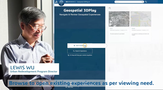
The Geospatial Viewer role enables users to explore different types of experiences created by Geospatial Data Manager and Geospatial Designers—offering a gateway to the territorial virtual twin. It allows all project stakeholders to intuitively navigate the terrain, sites or built environments, made easily accessible on the 3DEXPERIENCE platform. These experiences consist of datasets curated for broad access, fostering rich, context-driven collaboration while maintaining access control according to dataset's sensitivity.